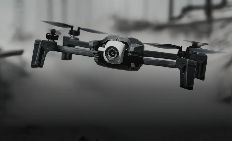


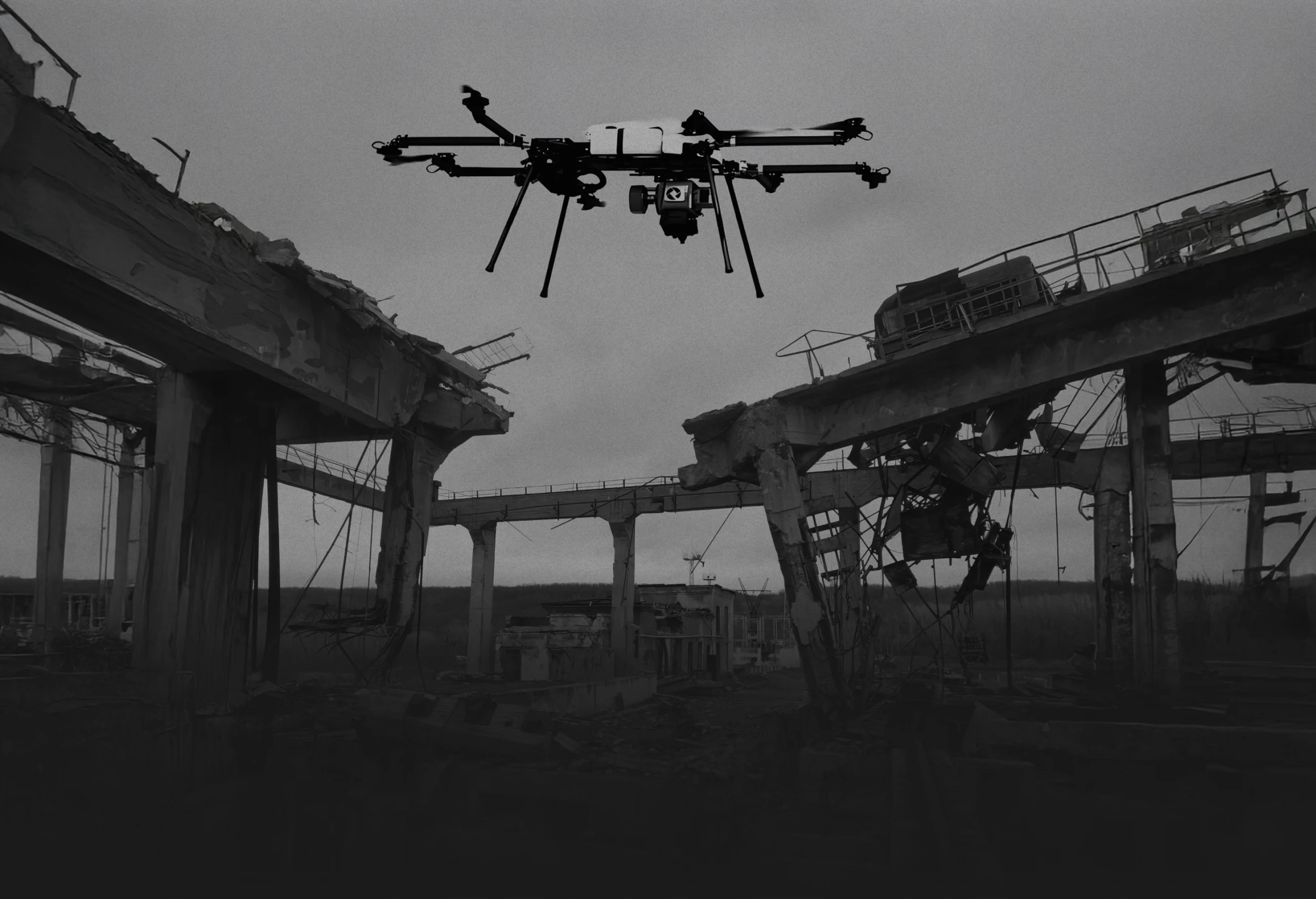


Revolutionising project surveys
We deploy unmanned aerial systems (UAS) from infrastructure inspections, land surveys and construction monitoring. Covering situational awareness in inaccessible or high-risk environments. Our UAVs operate in GPS-denied zones, post-conflict areas, and infrastructure blackouts, collecting actionable intelligence in real time.
Payloads include thermal imaging, high-resolution optics, and LiDAR scanning. Our platforms are modular, rapidly deployable, and configured for autonomous or remote-controlled operations, minimising personnel exposure and accelerating decision-making on the ground.